Hakkımızda

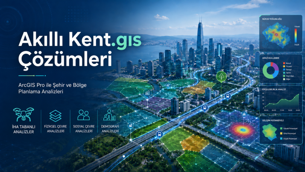
torgeolab, şehir planlamacıları için uzaktan algılama ve GIS tabanlı analizler sunar.

An individual is in front of a computer monitor displaying a detailed architectural or engineering design, possibly a floor plan or structural layout with measurements and annotations. The design is composed of various lines in colors like yellow, red, and green against a dark background, and the interface resembles a CAD software.
A digital screen displaying analytical data with line graphs, histograms, and numerical values. The data is presented in a user-friendly interface with different shades of blue used to distinguish various elements.
A person is viewing a map with red data points on a computer monitor, likely indicating a geographical distribution. The image has a focus on technology and data analysis.
A spherical aerial view of a landscape featuring roads, greenery, and buildings, creating a planet-like effect. The central area is densely covered with forest, surrounded by winding roads and some residential and commercial buildings.